In 1803, under cover of darkness, English nobleman and sometime spy Robert Clifford set sail in secret from the French port of Calais.
Having narrowly escaped the authorities in Napoleonic France, which was now at war with England, Clifford was returning home, bringing with him a precious cargo.
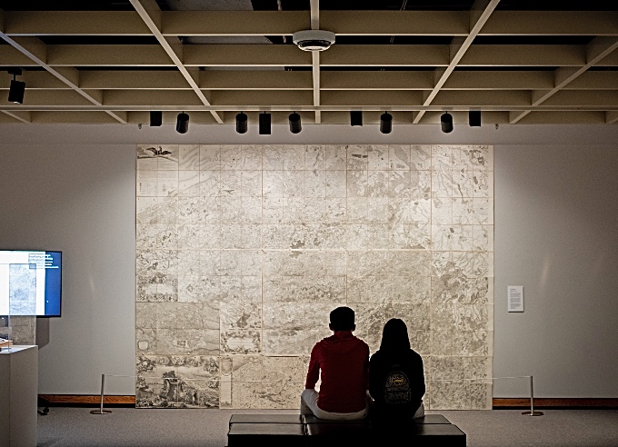
Concealed in a crate, Clifford had packed more than 200 lbs of some of the most advanced maps available at the time – maps that would become an invaluable weapon of war and eventually aid in the defeat of Napoleon.