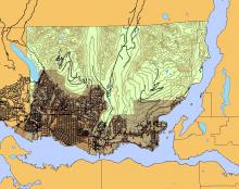
GEOweb is an interactive web-based portal by the District of North Vancouver that allows for public access to data and maps. There are also applications such as history (an application that shows the history of the District of North Vancouver), properties (an application that can determine the information of properties within the District of North Vancouver), hazards (an application that determines areas that are susceptible to natural hazards within the District of North Vancouver), and solar (an application that determines the suitability of properties for solar hot water and photovoltaics) that can be accessed on the applications tab of the GEOweb website (ESRI Canada Reprint: ArcNorth News Spring, 2010).
Data that can be downloaded from this website includes parks, lakes, schools, zoning, roads, streets just to name a few. There are also some historic datasets, such as streets between 1890 and 1990, land use pre-1890 to 1990, historical events, Census data, and boundaries for 1900 and 1910.
For a complete list of the over 170 datasets, see the website - https://geoweb.dnv.org/data/.
