Tactical Pilotage Charts (TPCs) were originally created for the use of military air navigation. The charts depict the types of data that would be useful for pilots, including topography, the locations of major cities, tranportation routes, and other ground features that would be visible from the air. These charts are provided primarily to be used as low-resolution topographic maps. The georeferenced maps show relief with contours (250-500ft intervals) and with hypsometric shading.
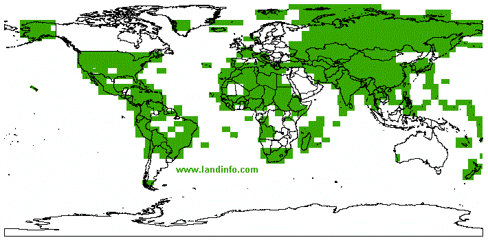
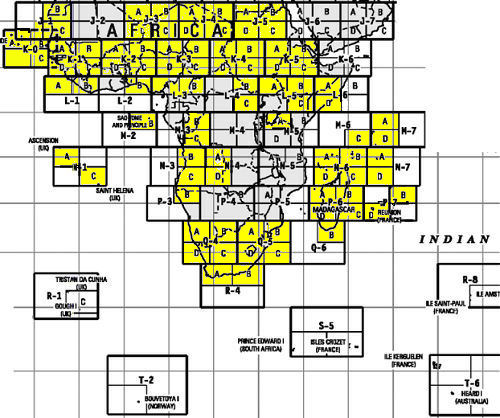
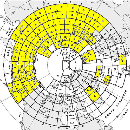
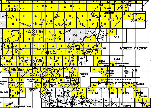
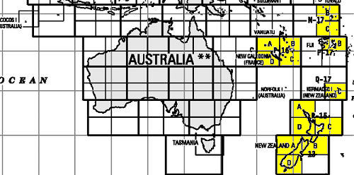
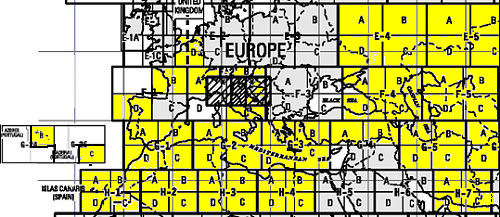
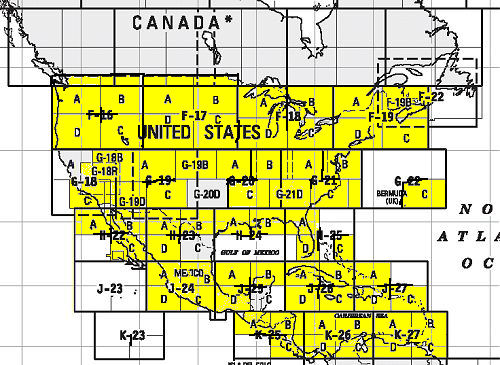
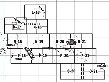
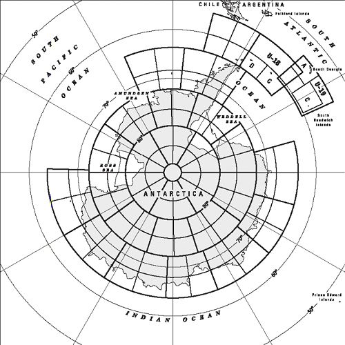
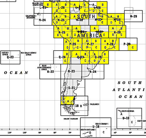
World coverage (including most of Canada) is not complete due to certain foreign copyrights - see diagram of completed sheets. The charts are provided in large tiles. For example, the local tile covers an area of 4°Latitude x 8°Longitude. Indexes of tile numbers are available by continent:
The charts were originally produced in 1989, but LandInfo publication dates range from 1989 to 2001.
