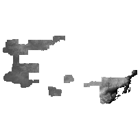
The North West Ontario Orthophotography Project (NWOOP) 2017 Digital Elevation Model (DEM) is a 2m raster elevation product that provides a generalized representation of both surface and ground features based on image correlation using aerial photography.
The product was generated by an imagery contractor for the purpose of ortho-rectifying orthophotography collected across areas of North West Ontario in the spring of 2017.
The DEM data is available in the form of packaged 1km x 1km non-overlapping tiles.
Access this resource on Scholars Geoportal.
Access this resource on Scholars Geoportal.
