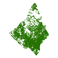
City of Mississauga digital mapping data contains very detailed topographic and planning information clipped to the City of Mississauga municipal boundary based on a scale of 1:2,000.
This data set contains linear features the outlines of hedges and wooded areas in the City of Mississauga, Ontario.
Access this resource on Scholars Geoportal.
Access this resource on Scholars Geoportal.
