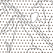
Derived from Southern Ontario Orthophotos with 10 cm resolution, the Digital Terrain Model (DTM) represents a topographical surface, with spot heights and break lines and noticeable changes in slope. The terrain model data is divided into "tiles" and provided in DWG (AutoCAD) format with 3D polylines. Tile numbers correspond to the same number as the Ontario Orthophotographs.
DTM is used for referencing elevations for mapping or engineering work and can be used to generate contours for the same. The coordinate files are in an X,Y,Z structure in various formats.
Access this resource on Scholars Geoportal.
Access this resource on Scholars Geoportal.
