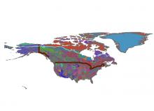
Digital soil map of the world and derived soil properties is a series of datasets containing soil information for the following regions:
- Africa
- North America
- Mexico and Central America
- South America
- Europe
- Asia
- South Asia
- North and Central Asia
- Southeast Asia and Australasia
The types of files that are available for download are:
- Vector files (shapefile) with a text file that gives information about the vector files
- Raster files in ERDAS and IDRISI formats with a text file that gives information about the raster files
- GIF, HTM And TIF files
A readme file is included with the download, containing important information.
Available for download through the FAO Soils Portal.
