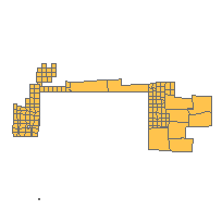
This data set is a polygon feature that can be used to identify Crown Land that is leased to the public. The data available in this layer is categorized as either:
or
Retirement Note: Data is this layer has been integrated into:
- Crown Land - MNR Non-Freehold Dispositions;
- Crown Land - MNR Unpatented Land;
- Crown Land - MNR Acquisitions and/or Patent Land.
Access this resource on Scholars Geoportal.
Access this resource on Scholars Geoportal.
