Revision Note: Please note that this dataset has been revised and is available from the Land Information Ontario (LIO) Warehouse.
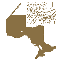
The Contour data class consists of linear segments that connect contiguous points of the same elevation that are compiled and used to describe terrain relief. Includes: Contour Land Contour Land Approximate Contour Land Auxiliary/Interpolated Contour Land Depression In southern Ontario the contour interval is 5 meters. In the near north the contour interval is 10 meters. In the far north the contour interval varies dependent on the source of the information. This layer is part of what was known as the OMNR Fundamental Dataset.
Access this resource on Scholars Geoportal.
Access this resource on Scholars Geoportal.
