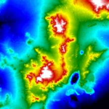
The Advanced Spaceborne Thermal Emission and Reflection Radiometer (ASTER) Global Digital Elevation Model (GDEM) was developed jointly by the Ministry of Economy, Trade, and Industry (METI) of Japan and the United States National Aeronautics and Space Administration (NASA).
The ASTER GDEM was contributed by METI and NASA to the Global Earth Observation System of Systems (GEOSS) and is available at no charge to users via electronic download from the Earth Remote Sensing Data Analysis Center (ERSDAC) of Japan and NASA's Land Processes Distributed Active Archive Center (LP DAAC).
The ASTER GDEM covers land surfaces between 83' N and 83' S and is comprised of 22,600 1'-by-1' tiles. Tiles that contain at least 0.01% land area are included. The ASTER GDEM is in GeoTIFF format with geographic lat/long coordinates and a 1 arcsecond (approximately 30m) grid. It is referenced to the WGS84/EGM96 geoid. Pre-production estimated (but not guaranteed) accuracies for this global product were 20m at 95% confidence for vertical data and 30m at 95% confidence for horizontal data.
Versions 1 and 3 of the dataset are available through the NASA website.
