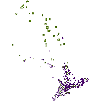
This data set can be used to identify ANSIs (Areas of Natural and Scientific Interest), which are polygon features that represent lands and waters containing important natural landscapes or features that are important for natural heritage, protection, appreciation, scientific study or education.
Different ANSI types collected by the the Natural Resources Values Information System (NRVIS) include:
Supplementary tables can be used and are available for download from the additional documentation section. Supplementary look-up table descriptions are available in the data description document, which is available for download from the additional documentation section.
Access this resource on Scholars Geoportal.
Access this resource on Scholars Geoportal.
