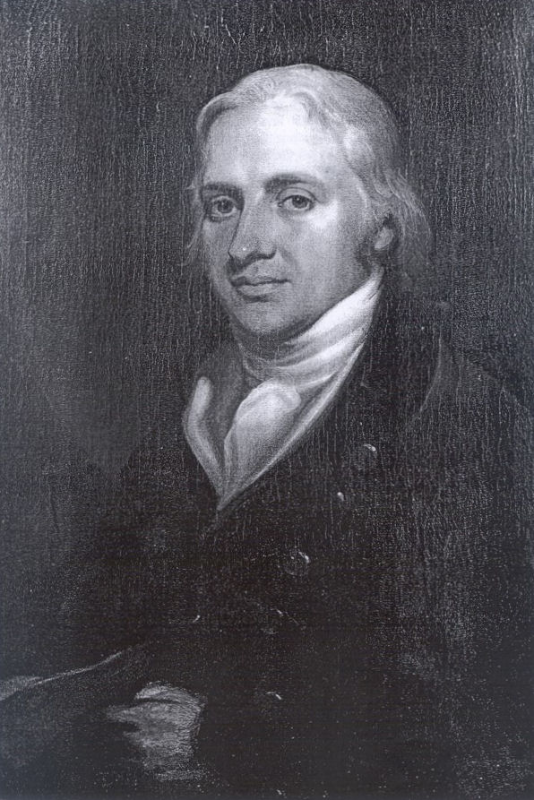
Biography
Robert Edward Clifford was the third son of Hugh, the 4th Lord Clifford of Chudleigh. His ancestral home, Ugbrooke Park, is located in Devon, England. Born into a Roman Catholic family in Protestant England during the era of the Catholic Penal Laws meant that Robert Edward was denied the right to hold a position in government or to be commissioned an officer in the military. It also prevented him from receiving a formal education in his own faith, which is why he—like his two older brothers and his father before him—was sent abroad to Liège, in the Austrian Netherlands, at an early age.
Upon completion of his education at age eighteen, Robert Edward was commissioned an officer in his cousin Arthur Dillon's Regiment of the Irish Brigade—a unit filled with Roman Catholic exiles serving King Louis XVI of France. He continued to serve with the Regiment after the outbreak of the French Revolution but resigned when it was forced to integrate with the French Revolutionary Army. He returned to England early in 1793 when Louis XVI was executed and France declared war on Britain.
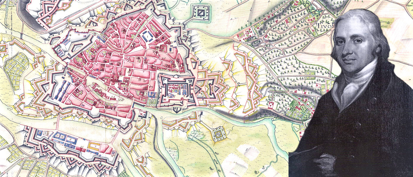
Possessing knowledge of the inner workings of French military and cartographic practices in addition to an intimate familiarity with the French language, culture, and geography, Robert became an indispensable advisor to British military leaders. Still unable to hold an official position or rank due to the Penal Laws, he nevertheless spent the next 8 years as a shadowy figure moving throughout the highest circles within the British military and government. During the Treaty of Amiens (March 1802 - May 1803), Robert returned to France and surreptitiously acquired as many maps as possible which he smuggled out of the country and handed over to the British government.
His military advice was sought by General John Graves Simcoe for the defence of southern England against a possible invasion by Napoleon, and by General John Gaspard Le Marchant on the formation of a new military school at High Wycombe, later to become the Royal Military College at Sandhurst. His cartographic advice was sought on the topographical survey of England by William Mudge of the Ordnance Survey, and by prominent London map publishers such as John Cary and John Stockdale.
In addition to being a Fellow of the Royal Society, a founder-member of the Royal Institution, a Fellow of the Society of Antiquaries, and a Vice-President of the Society for the Encouragement of Arts, Manufactures and Commerce, Clifford was an author and translator of scientific, religious, and political books and was considered to have a map collection surpassing that of any private gentleman of his time.
NOTE: for further information, see the sources under the "References" tab.