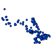
This data set is a point coverage that can be used to identify the location of waterpower generation stations and provide general information about the site including the equipment associated with the waterpower generation station.
Supplementary tables can be used and are available for download from the additional documentation section.
Access this resource on Scholars Geoportal.
Access this resource on Scholars Geoportal.
