Year
2015 - 2023
Abstract
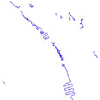
This layer indicates linear water transport features including lock gates and wharfs.
Additional tables and supporting documentation are available in the Data Dictionary and User Manual.
URL
Access this resource on Scholars Geoportal.
SGP_id
43141560
Scholars Geoportal URL
Access this resource on Scholars Geoportal.
