Year
1899 - 2006
Abstract
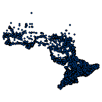
This holding contains a WRIP_Well_Location_2009 table where water well records drilled prior to August 2006 have had their spatial coordinates reviewed and\or updated to reflect their correct location. The holding is a review and correction of the database that has been created through the Water Well Data Improvement Project by the Water Resources Information Program (WRIP) Peterborough. It also includes an executive summary overview of the review as well as correction details and a shapefile of all water well points including the corrections.
URL
Access this resource on Scholars Geoportal.
SGP_id
2521773128
Scholars Geoportal URL
Access this resource on Scholars Geoportal.