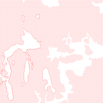
The Surficial Geology of Southern Ontario - Moraines feature displays areas of hummocky topography as well as areas mapped as moraines.
The Surficial Geology of Southern Ontario data set is a GIS based geological map that shows the distribution and characteristics of surficial units across Southern Ontario. It illustrates surficial deposit types, material types, geological features (e.g. drumlins, eskers) and general bedrock types and outcrops. The surficial geology of southern Ontario consists largely of varying types and thicknesses of deposits emplaced primarily during the Quaternary period. These surficial deposits overly a bedrock terrain consisting mainly of Phanerozoic sedimentary rocks that overlie older Precambrian rocks of the Canadian Shield.
The data used in generating the map was derived from Quaternary maps, primarily at a scale of 1:50 000, completed by the OGS and Geological Survey of Canada (GSC) for most of southern Ontario over the past 40 years.
The Surficial Geology of Southern Ontario - Moraines feature is part of the Surficial Geology of Southern Ontario series. The other features are available on the GeoPortal and can be located by searching the following titles:
Supplementary data can be used and is available for download from the additional documentation section.
Access this resource on Scholars Geoportal.
Access this resource on Scholars Geoportal.