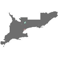
This dataset represents the digitized version of the Canada Land Inventory Land Use (circa 1966) 1:50,000 scale mapping for Southern Ontario. The land use classification is based on air photo interpretation, field surveys, and census information and is divided by NTS map base. Most of the classifications are 'use' classes however, some vegetative cover classes are included (productive woodland, unproductive woodland, swamps-marsh-or-bog, and unproductive land). Classifications have been standardized across the coverage.
Access this resource on Scholars Geoportal.
Access this resource on Scholars Geoportal.
