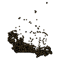
This layer indicates the relative elevations of transportation nodes. It outlines relationships between street segments on different planes via node-and-segment connectivity (e.g. 0 for surface, -1 for an underpass, and 1 for an overpass). Relative Elevation Nodes (REN) are a work-around for inherent limitations when navigating through three-dimensional street networks represented on the two-dimensional plane (i.e. computer screen). REN help to establish routing options and are particularly useful where complex overpass/underpass structures exist because they indicate street segments as being on different road-levels; where on the computer screen all streets appear to be connected.
Additional tables and supporting documentation are available in the Data Dictionary and User Manual.
Access this resource on Scholars Geoportal.
Access this resource on Scholars Geoportal.
