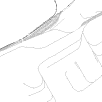
The CanMap Rail and Transit Lines layer represents: primary railways, transit, sidetrack and abandoned railways across Canada. The attribution associated to these graphic segments include: Rail Operator, Cartographic Type Assigment and more.
Note: In 2012, there was a datum change from NAD83 to WGS84.
Access this resource on Scholars Geoportal.
Access this resource on Scholars Geoportal.
