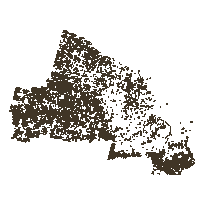
This spatial data layer consists of polygon features representing natural and anthropogenic disturbances to vegetation as identified on Landsat change detection imagery with a cell resolution of 30 meters. These disturbances include burns, commercial forestry harvesting (cuts), weather events, infrastructure and pest/disease.
The Provincial Satellite Derived Disturbance Mapping is currently restricted to Ontario's Far North Planning area.
Access this resource on Scholars Geoportal.
Access this resource on Scholars Geoportal.
