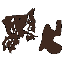
This data set is a polygon coverage that can be used to identify the location of a peat production area, which is an area designated as suitable for the extraction of peat. The boundary is determined by a Peat Extraction License or a survey of potential license.
Supplementary tables can be used and are available for download from the additional documentation section. Supplementary look-up table descriptions are available in the data description document, which is available for download from the additional documentation section.
Access this resource on Scholars Geoportal.
Access this resource on Scholars Geoportal.
