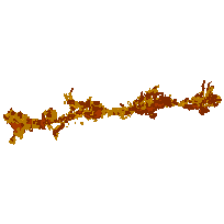
The Oak Ridges Moraine Conservation Plan is an ecologically-based plan established by the Ontario government to provide land use and resource management direction for the 190,000 hectares of land and water within the Moraine.
This dataset contains landform conservation areas, which represent areas of significant landform features, such as:
This data set identifies Category 1 and Category 2 landform conservation areas as defined in the Oak Ridges Moraine Conservation Plan, which can be downloaded from the additional documentation section.
Supplementary tables can be used and are available for download from the additional documentation section.
Access this resource on Scholars Geoportal.
Access this resource on Scholars Geoportal.
