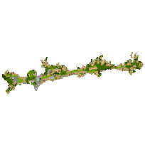
The Oak Ridges Moraine Conservation Plan is an ecologically-based plan established by the Ontario government to provide land use and resource management direction for the 190,000 hectares of land and water within the Moraine.
This data set contains land use designations for the Oak Ridges Moraine. These data were digitized at 1:10,000 or better using 0.5 metre airphotos, MNR, DMTI, Upper and Lower-tier Official Plans and digital vector layers. Built using MNR data as base. This layer is part of what was known as the OMNR Non-Fundamental Dataset.
Access this resource on Scholars Geoportal.
Access this resource on Scholars Geoportal.
