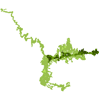
This data set can be used to identify systems of natural core areas and key natural corridors or linkages, such as rivers and valleys, with significant ecological value that have been identified by the ministry of Natural Resources for use in land use planning. It includes those Natural Heritage System Areas that have been defined and enabled by provincial plans such as the Greenbelt Plan, the Oak Ridges Moraine Conservation Plan and the Niagara Escarpment Plan. It does not include any modifications to the systems as made by municipal governments as part of their Official Plans.
Supplementary look-up table descriptions are available in the data description document, which is available for download from the additional documentation section. This layer is part of what was known as the OMNR Non-Fundamental Dataset.
Access this resource on Scholars Geoportal.
Access this resource on Scholars Geoportal.
