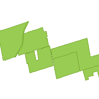
This data set is can be used to identify municipal parks, which are polygon features describing municipal public lands set aside by municipalities to provide a variety of outdoor recreation opportunities or to protect significant natural or cultural environments.
Supplementary tables can be used and are available for download from the additional documentation section. Supplementary look-up table descriptions are available in the data description document, which is available for download from the additional documentation section. This layer is part of what was known as the OMNR Fundamental Dataset.
Access this resource on Scholars Geoportal.
Access this resource on Scholars Geoportal.
