Year
2016 - 2020
Abstract
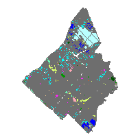
City of Mississauga digital mapping data contains very detailed topographic and planning information clipped to the City of Mississauga municipal boundary based on a scale of 1:2,000.
This data set contains the Mississauga Official Plan 2010 Land Use area. The Plan's policies are designed to manage and direct the next stage of the city's growth - redevelopment and intensification. They will help the city adapt to the effects of growth on the social, economic, cultural and natural environment.
URL
Access this resource on Scholars Geoportal.
SGP_id
1105464382
Scholars Geoportal URL
Access this resource on Scholars Geoportal.