Year
2015 - 2023
Abstract
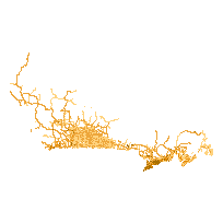
This layer contains major roads and highways across Canada. The layer includes naming, addressing, speed limits, number of lanes, and road class where available.
Additional tables and supporting documentation are available in the Data Dictionary and User Manual.
URL
Access this resource on Scholars Geoportal.
SGP_id
32690237
Scholars Geoportal URL
Access this resource on Scholars Geoportal.
