Year
2015 - 2023
Abstract
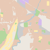
This layer covers urban areas and indicates land use. The dataset is divided up into seven land use categories: commercial; government and institutional; open area; parks and recreational; residential; resource and industrial; or waterbody.
Additional tables and supporting documentation are available in the Data Dictionary and User Manual.
URL
Access this resource on Scholars Geoportal.
SGP_id
14056828
Scholars Geoportal URL
Access this resource on Scholars Geoportal.