Year
2021
Abstract
The City of Kingston open data collection contains very detailed topographic and planning information clipped to the City of Kingston's municipal boundary.
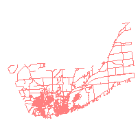
This data set contains a representation of the centreline street network in the City of Kingston, Ontario.
This data can be used to identify roads and information about roads across the City. The layer includes naming, addressing, number of lanes, traffic flow, and road class where available.
URL
Access this resource on Scholars Geoportal.
SGP_id
1484798540
Scholars Geoportal URL
Access this resource on Scholars Geoportal.