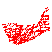
The City of Kingston open data collection contains very detailed topographic and planning information clipped to the City of Kingston's municipal boundary.
This data set contains a representation of civic addresses throughout the City of Kingston, Ontario.
Addresses may represent properties, individual buildings, and/or other structures and are updated on an ongoing basis. The layer includes postal code, street, electoral district, neighbourhood, and waste remove scheduling where availableAccess this resource on Scholars Geoportal.
Access this resource on Scholars Geoportal.
