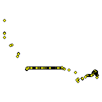
This layer contains points representing each location where a Canadian road crosses a border into the United States and links to a road on the US side. The point contains the names of both the Canadian and US streets.
Additional tables and supporting documentation are available in the Data Dictionary and User Manual.
Access this resource on Scholars Geoportal.
Access this resource on Scholars Geoportal.
