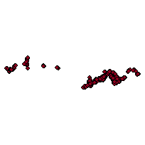
This layer depicts the point locations of highway exits, which typically occur at the interchanges of a highway with another road and are arranged so that vehicles may move from one road to the other without disrupting the flow of traffic. Each point includes associated exit numbers and direction attribution.
Additional tables and supporting documentation are available in the Data Dictionary and User Manual.
Access this resource on Scholars Geoportal.
Access this resource on Scholars Geoportal.
