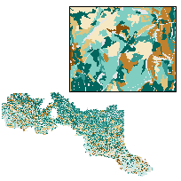
This data layer is symbolized to represent the Provincial Forest Type (8 types): Red and White Pine, Jack Pine, Upland Conifers, Lowland Conifers, Mixedwoods, Poplar, White Birch, and Tolerant Hardwoods, within each Forest Management Unit. The eight provincial forest types listed represent a mix of forest cover required for silviculture, wildlife habitat and sustainability assessment requirements at broad regional and provincial planning and reporting levels.
The Forest Resource Inventory (FRI) is an extensive survey of the forest resources of Ontario. It was originally designed in 1946 to locate merchantable timber species for supplying mills.
The FRI was designed as a large-scale survey that would allow general characterization of the forest in terms of species, forest conditions and regeneration. Traditionally, the FRI has been based on aerial photo interpretation, as well as some field surveys.
An FRI (forest resources inventory) is a polygon level snapshot of a Forest Management Unit's land and water features, including a detailed description of individual forest stands. Stand attributes include things such as forest type, tree species, height and age. A planning composite inventory includes other spatial layers such as ownership and administrative boundaries to assist in analysis/summarization for forest management planning purposes.
Access this resource on Scholars Geoportal.
Access this resource on Scholars Geoportal.