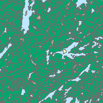
Forest Cover is used to support various forest inventory, forest management planning and land-use planning decisions over a wide range of geographic areas (extents).
Where available, packaged products for planning and FIM inventories are available in 3D versions of the Forest Resources Inventory (FRI). Quetico Provincial Park - 3D dataset is intended for use in specialized software and hardware such as Stereo Analyst with 3D glasses. The Z component of the spatial dataset are used to reproduce the 3D terrain model when coupled with the Stereo Imagery.
Access this resource on Scholars Geoportal.
Access this resource on Scholars Geoportal.
