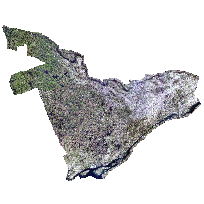
Digital Raster Acquisition Project for Eastern Ontario imagery (DRAPE) was received from the Ontario Ministry of Natural Resources and is the result of a collaborative funding partnership between private and government organizations.
DRAPE contains 20cm resolution orthophotography tiles, and additional derivative products, for the Eastern Ontario region.
Digital imagery was collected in leaf off conditions during the springs of 2008 and 2009, and 2014. The products generated from DRAPE include: stereo imagery, 1km x 1km orthophotography tiles in geotiff, MRSID, jpeg2000 formats as well as 20 km x 20 km MRSID compressed mosaics (varies by product). Tile indexes are available for the 1 km and 20 km tiles and photo centre points are provided in shapefile formats (varies by product). For more detailed information please consult the metadata for each product.
Access this resource on Scholars Geoportal.
Access this resource on Scholars Geoportal.
