Year
2015 - 2023
Abstract
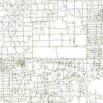
This layer depicts lines cut through a forest area to facilitate cadastral or seismic surveys, or to create firebreaks.
Additional tables and supporting documentation are available in the Data Dictionary and User Manual.
URL
Access this resource on Scholars Geoportal.
SGP_id
59752587
Scholars Geoportal URL
Access this resource on Scholars Geoportal.
