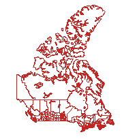
This data set reconstructs the census compilation and dissemination geography of the 1961 Census of the Canadas, including the census districts (CD) of Ontario, Quebec, New Brunswick, and Nova Scotia.
The boundaries were originally compiled for the Historical Atlas of Canada Online Learning Project, and were derived from a combination of sources including the Atlas of Canada 1:7 500 000 data set.
Access this resource on Scholars Geoportal.
Access this resource on Scholars Geoportal.
