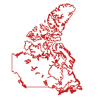
This data set reconstructs the census compilation and dissemination geography of the 1861 Census of the Canadas, including the census districts (CD) of Canada West (present-day Ontario), Canada East (present-day Quebec), New Brunswick, and Nova Scotia.
The boundaries were originally compiled for the Historical Atlas of Canada Online Learning Project, and were derived from a combination of sources including the Atlas of Canada 1:7 500 000 data set.
Access this resource on Scholars Geoportal.
Access this resource on Scholars Geoportal.
