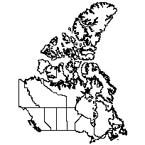
This layer contains detailed polygons that correspond to the 13 geopolitical jurisdictional areas of Canada (i.e. Provinces and Territories). The layer also includes population and dwelling counts for each region from the 2001 census and the 2011 census.
Additional tables and supporting documentation are available in the Data Dictionary and User Manual.
Access this resource on Scholars Geoportal.
Access this resource on Scholars Geoportal.
