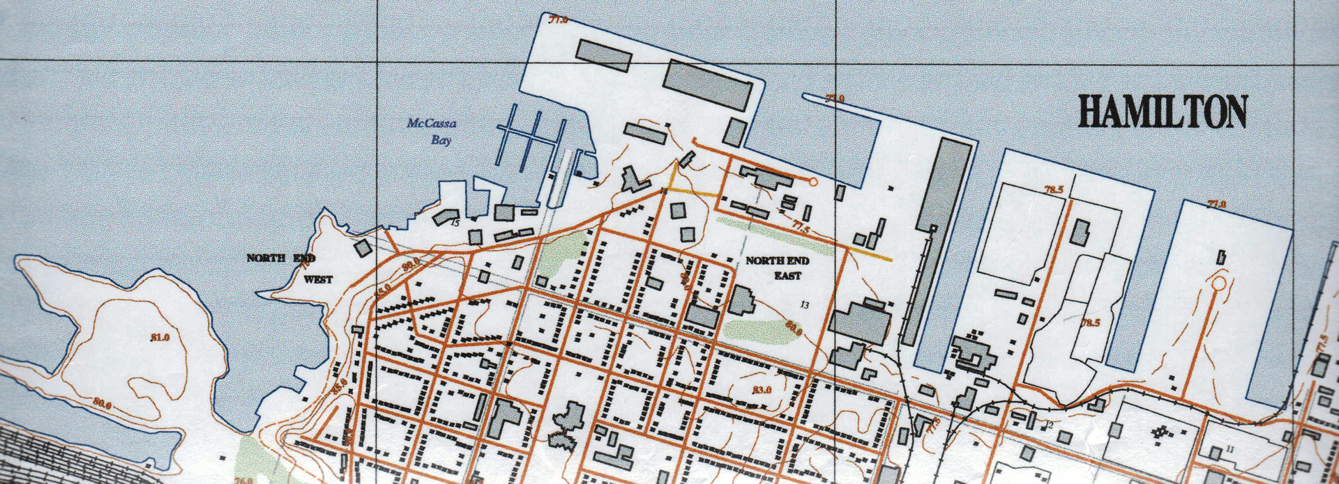
Maps and Geographical Resources
The Lloyd Reeds Map Collection consists of a wide range of cartographic resources on topics including--but not limited to--topography, hydrography, geology, soils, watersheds and aquifers, wetlands, vegetation, wildlife, and recreation: fishing, hiking, biking, canoeing, climbing. There are a large number of thematic atlases on subjects covering such areas as health, crime, energy, socio-economics, the environment, transportation, migration, language, culture, history, world politics and conflict. The collection also contains geographic information in a textual format like city directories, gazetteers, Ontario Conservation Authority Reports, land surveyors notebooks, guides to map and aerial photo interpretation, and books on the history of cartography.
For a list of our most versatile and heavily used resources, see: "Hamilton Area Historical Research Resources." The information these resources contain can be applied to environmental assessments, heritage restoration, genealogy, archaeology, human and physical geography, and much more.
Many geographical resources in the Map Collection are listed in the Library catalogue. Their location within the Map Collection can be found by searching our collection database which will provide the map cabinet or shelf location. Additional, uncatalogued resources are also available, so if you do not find what you are looking for, please ask our staff for assistance.

