FRANCE, BELGIUM & HOLLAND
To view paper originals, visit the Lloyd Reeds Map Collection.
To view scanned images of the maps, click on the desired scale listed below.
1:25,000 scale series (G.S.G.S. 4414 & A.M.S. M832) Eastern Holland
NOTE: For more sheets at this scale, see the Central Europe Series, which covers Eastern Holland, Germany and western Poland. We currently have no visual index for this series. Maps must be selected for viewing by browsing and clicking on the desired item from an alphabetical list of sheet titles.
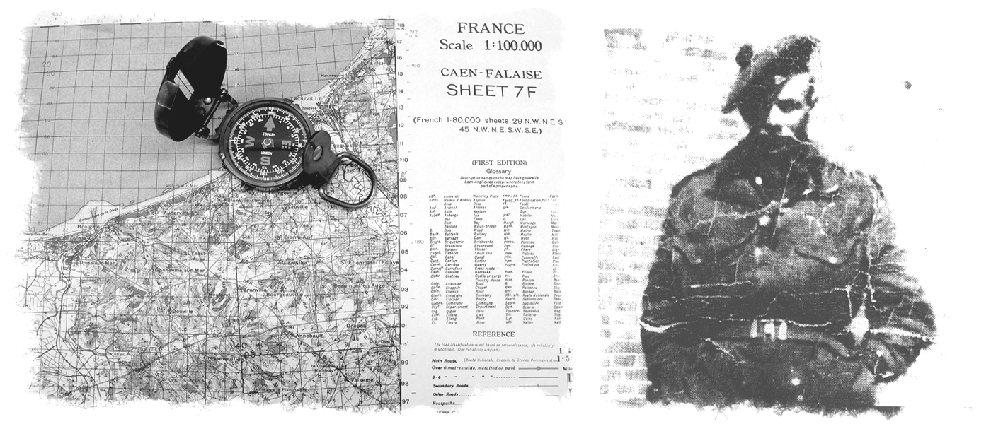
1:100,000 scale series (G.S.G.S. 4249, 4336 & 2541) France, Belgium & Holland
1:250,000 scale series (G.S.G.S. 2738 & G.S.G.S. 4042) France & North West Europe
NOTE: U.S. Army Map Service, France City Plans (1942-1944) are available online courtesy of the University of Texas, Perry Castaneda Library.
War Office Supplementary Documents (December 1943)
"These wartime guides are an invaluable description of, and finding aid for, the general mapping situation and map series in use in various theatres in World War 2. Armed with the information they contain, the historian or researcher can, if required, seek appropriate series and sheets in the various archives and map libraries in which these maps may now be found such as The National Archives, The British Library, The Imperial War Museum, The Royal Geographical Society and University Libraries.
To this end, the Defence Surveyors’ Association has included scanned versions of all four guides on the web site to assist researchers who may not otherwise have access to these publications."
Defence Surveyors' Association (U.K.)
Notes on the GSGS Map Series:
France/Belgium/Holland (PDF, 77.9 MB)
Maps & Survey H.M.S.O., Chapter 2:
France and Belgium 1939-40 (PDF, 980 KB)
Maps & Survey H.M.S.O., Chapter 11:
France, Belgium, Holland and Germany 1944-45 (PDF, 5.19 MB)
Glossaries of Topographical Terms:
French (PDF, 516 KB)
Dutch (PDF, 668 KB)
Gazetteers:
Belgium/Luxembourg (PDF, 1.5 MB)
Holland (PDF, 1.6 MB)