Distinguishing Features of an "Army/Air" Map
Scale:
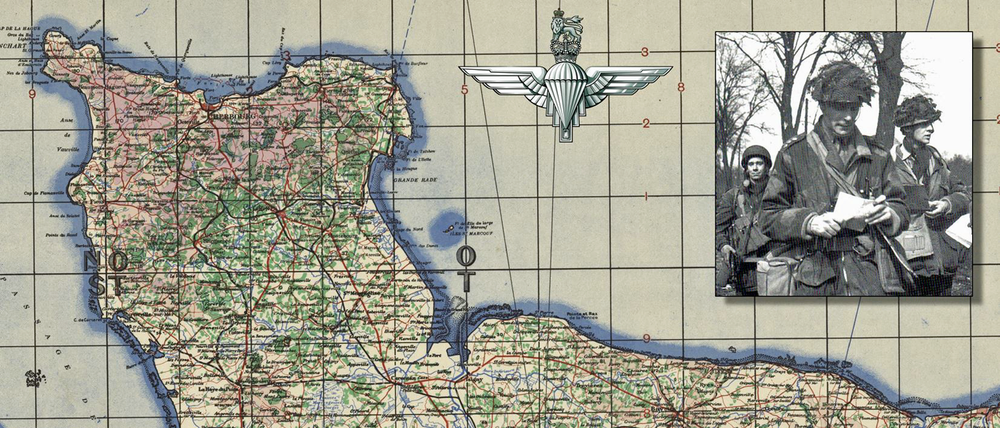
The scale of the map had to be large enough to show a sufficient amount of detail for the ground forces, while remaining small enough to show as much geographic area coverage as possible for the air forces--typically 1:250,000 (1 cm = 2.5 km).
Roads and Railways:
The road colour was selected so that, under the amber light, it would neither fade out and disappear, nor become so dark that it would be confused with railways. The object was to cause the main roads to appear as an apparent sepia colour.
Water Features:
Coastlines were made to be more visible under the amber lighting conditions by applying a blue "verge" to highlight the transition from water to land. Rivers were also slightly thickened for emphasis as they were important aids to navigation.
Wooded Areas:
Forests and Wooded areas were printed in a brilliant green, as--like water features--they were also important aids to navigation. Their destinctive shapes, as seen from the air, could often be used to identify them.
Elevation and Spot Heights:
Hypsometric layers, representing increasing levels of elevation, were printed in graduated tints of violet. Selected critical spot-heights were shown on ridges and summits which constituted dangers to flying in fog or darkness. Where necessary, these spot-heights were printed inside a white "text box" in order to stand out clearly against the violet-coloured mountain background.