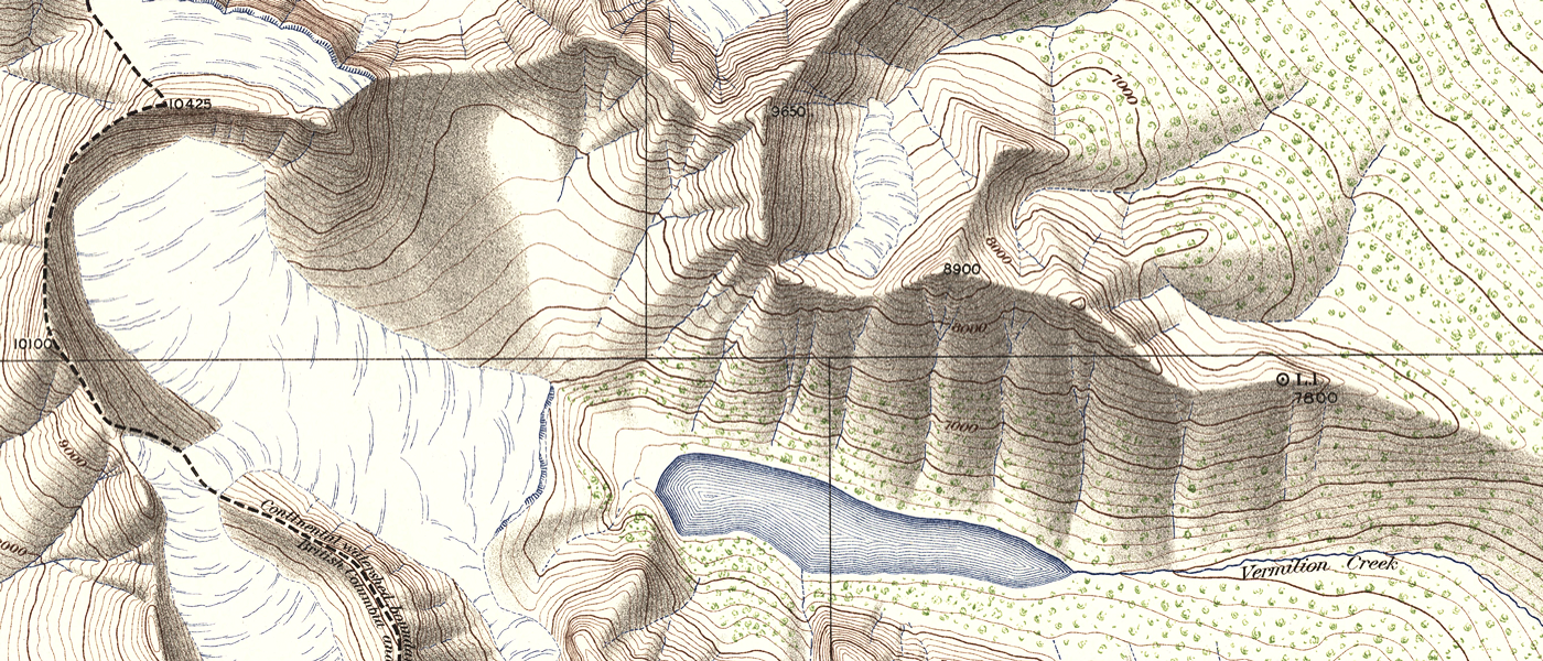
Rocky Mountain Photo-topographic Survey Maps (1887)

View The Rocky Mountain Survey Maps.

Permitted Use of the Maps: McMaster University Library is providing digital access to these topographic maps and the ability to download high resoultion copies (600 dpi, 1GB, .TIF) for non-commercial purposes only. For allowable use of the images found on this website, see the Creative Commons License.

Historical Context:

Nearly a century before the advent of photography, German mathematician Johann Heinrich Lambert proposed that one could create accurate topographic charts from a series of views of the landscape by using the inverse principles of perspective. The theory was proven by a French colonel of army engineers who began experimenting in 1850 with a Camera Lucida and by 1859 had successfully designed the first camera specifically for mapping. His name was, Aimé Laussedat, and he is known today as the father of photogrammetry—the science of obtaining reliable measurements by means of photography. His invention was a combination of a camera and surveyor’s theodolite or “transit.”

This discovery came at a perfect time for Canadian land surveyors who were just starting to map the country’s mountainous western portion. Canada’s Surveyor General of that time was Édouard Gaston Deville, originally from France, who had heard of Laussedat’s work when employed in his previous career with the French Hydrographic Service. Deville believed the camera might overcome the obstacles involved in surveying the Rocky Mountains.

The idea was to combine triangulation with a series of 360 degree panoramic rings of oblique angle photos of nearby mountain peaks taken from peaks of known location and elevation. The precise orientation of each photo relative to the survey station would be measured using a transit or theodolite. Each feature would be photographed and triangulated from at least two different camera angles. Once back in the office, the surveyor would plot the camera station on paper, orient each of the photographs relative to the angles recorded by the transit, and draw lines out from the station to each significant feature noted in the photograph. The point at which these lines intersected from two or more stations would be the true position of the feature relative to the camera stations.

The first photo-topographic survey in Canada was undertaken by James Joseph McArthur in the Rocky Mountains in 1887. Surveyors like McArthur, A. O. Wheeler and M. P. Bridgland would go on to found the Canadian Alpine Club while mapping over 34,000 square miles between 1887 and 1923, making Canada the international leader in photo-topography.

You may also be interested in: The Mountain Legacy Project:

The MLP explores all that changes in Canada’s mountain landscapes. Working with the world’s largest collection of systematic historical mountain photographs, MLP follows the footsteps of intrepid surveyors to retake the original images. MLP engages university researchers, managers, practitioners and keen mountain folk in understanding the how and why ecosystems, landscapes, human communities change over time. Based in the School of Environmental Studies at the University of Victoria, our work since 1998 involves repeat photography, archival research, image interpretation and analysis, software development, and making these images widely available.