Map Revisions for the October Crisis (1970)
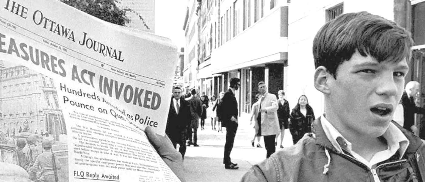
Four maps conspicuously absent of any purple overlay revisions are those adjoining sheets centered on Montréal--the focus of FLQ activity. The reason for this is due to the forward planning of Lieutenant General Jean Victor Allard, commanding the Mobile Command HQ (created in 1966), located at the Saint-Hubert airfield on the outskirts of Montréal. In anticipation of an escalation in FLQ violence, Allard had ordered these topographic map sheets to be fully updated and reprinted, thereby accomplishing the revision task before the outbreak of the crisis in 1970. The northwest sheet, "Laval," covers both the scene of the abduction of James Cross from his Redpath Crescent residence near Mount Royal, and the location of the duplex apartment on Rue des Récollets in north Montréal where he was held captive. It was updated and revised between 1969 and 1970. The northeast sheet, "Beloeil," was updated between 1966 and 1969. It covers both the sites of Allard's HQ at Saint-Hubert airport near where Pierre Laporte's body would later be found, and the adjacent neighbourhood where Laporte was held captive in a bungalow on Armstrong Street (now Bachand Street). The southwest sheet, "Lachine," and the southeast sheet, "Saint-Jean," were also updated between 1966 and 1969. They cover the sites of Saint-Lambert, where Laporte was kidnapped from the front yard of his Robitaille Street home, and the rural community of Saint-Luc, where Laporte's kidnappers were later found hiding in a tunnel beneath a farmhouse.
Other sheets of interest include those covering portions of Mont Tremblant National Park, where FLQ training is said to have taken place, and the "Rawdon" sheet north of Montréal, covering the community of Saint-Alphonse where an FLQ base camp and safe house were located.
This same process of 'purple overprint' revisions would be employed by the MCE yet again, as part of the planning for the 1976 Montréal Olympics.
Permitted Use of the Maps: McMaster University Library is providing digital access to these maps and charts and the ability to download high resoultion copies (600 dpi, 1GB, .TIF) for non-commercial purposes only. For allowable use of the images found on this website, see the Creative Commons License.
Search for maps using the index below
References and Recommended Reading:
Bouthillier, G., & Cloutier, E. (2010). Trudeau's darkest hour: War Measures in time of peace, October 1970. Montréal: Baraka Books.
Loomis, D. G. (1984). Not Much Glory: Quelling the F.L.Q. Toronto, Ont.: Deneau.
Meagher, John (2015, October 6). The 1970 October Crisis: Unanswered questions remain 45 years later. Montreal Gazette.
Sinclair, J. C. (2008). One hundred years of Canadian military mapping, 1903-2003: An illustrated history. Ottawa: Military Mapping Historical Committee.
Tetley, W. (2006). The October Crisis, 1970: An Insider's View. Montreal: McGill-Queen's University Press.