British Commonwealth Air Training Plan
Training Schools, Depots, and Recruitment Centres (1943)
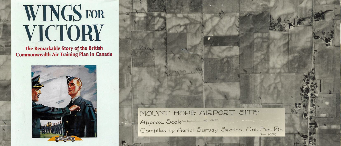
Mount Hope Airport Site (1939)
London, Ontario Aviation Chart (1943) (includes Hamilton area)
Camp Borden, Air Navigation Edition (1943) (coverage of southern Ontario)
Recommended Reading:
Dunmore, Spencer. Wings for Victory: The Remarkable Story of the British Commonwealth Air Training Plan in Canada. Toronto, Ont: McClelland & Stewart, 1994.