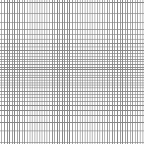
World Latitude and Longitude Grids represents a 5 by 5 degree latitude/longitude grid covering the world with attributes that allow you to display grids at intervals of 5, 10, 15, 20, and 30 degrees. To display a grid with a 5-degree interval, simply display all of the lines. To display a coarser grid, for example, a 15-degree interval, define the theme properties as lines with the Degree15 attribute equal to Y.
This layer has polylines that extend to 90 degrees Latitude North but are only shown to a maximum of 85 degrees Latitude North. Please download entire dataset if the whole dataset is required.
Access this resource on Scholars Geoportal.
Access this resource on Scholars Geoportal.
