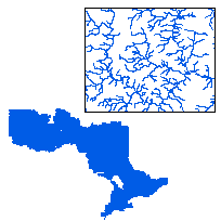
The Water Virtual Flow data set is a fully connected, flow directed, stream network with complete topological flow structure. The data was originally based on the Natural Resources Values Information System (NRVIS) Water Body Segment layer and has been updated to create connectivity and flow direction. Streams may also have been edited using information from reliable local sources such as Conservation Authorities and MNR districts. The entire data set has been updated August 2005 incorporating edits received from partners of the Water Resources Information Program. The Water Virtual Flow is divided up into 5 coverages: UTM Zone 15, UTM Zone 16, UTM Zone 17 north, UTM Zone 17 south, and UTM Zone 18.
Please note that the Water Virtual Flow has been replaced by the OHN - Watercourse layer. However, this data class will continue to be available as it represents the state of our water flow as of December 2008.
Access this resource on Scholars Geoportal.
Access this resource on Scholars Geoportal.