Year
1983
Abstract
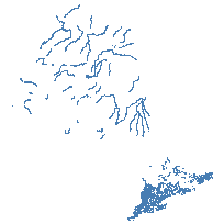
This data set is a Digital GIS Layer illustrating rivers, shorelines and virtual shorelines within Ontario at a scale of 1:1,000,000.
Please note that this data set is dated and has not been maintained since 1983. It is not intended for high accuracy geo-referencing but rather for approximate locations of features and general information.
URL
Access this resource on Scholars Geoportal.
SGP_id
2025369189
Scholars Geoportal URL
Access this resource on Scholars Geoportal.