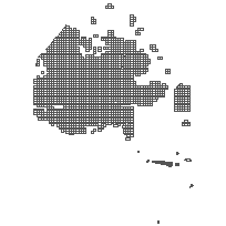
This data set is an index in which the geographic extent covers mostly un-surveyed territory. The geographic areas within the index are based on a grid of 7.5 ' latitude by 15' longitude. Each area consists of a G-Plan number and/or an area name (based on MNR' s G-Plans).
The G-Plan is a hard copy graphic index to Crown Land dispositions in the Province of Ontario. In addition to topography and culture, the G-Plan shows all Crown surveys with numerical identification and, in symbolized form, the type of document, patent, lease, licence-of-occupation, attached to the area defined by the Crown survey.
The G-Plan, also referred to as a control map, began in the early 1900's out of a need to graphically delineate land parcels that are open (Crown), closed (patent, lease) or closed conditionally (reservations). The plans exist in two formats, geographic township and geographic area (where land has not been surveyed into a geographic township) formats.
Supplementary tables can be used and are available for download from the additional documentation section.
Access this resource on Scholars Geoportal.
Access this resource on Scholars Geoportal.
