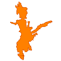
This data set can be used to identify a tradition land use area, which is a polygon feature that identifies an area commonly used for both current and past human activities that are deemed worthy of special consideration. These areas are not officially recognized, but may be located on the basis of local common knowledge. Different traditional land use area types collected by the Natural Resources Values Information System (NRVIS) include:
Supplementary tables can be used and are available for download from the additional documentation section. This layer is part of what was known as the OMNR Non-Fundamental Dataset.
Access this resource on Scholars Geoportal.
Access this resource on Scholars Geoportal.
